DATUM
Architecture for the edge of the map
Every building begins with its ground.
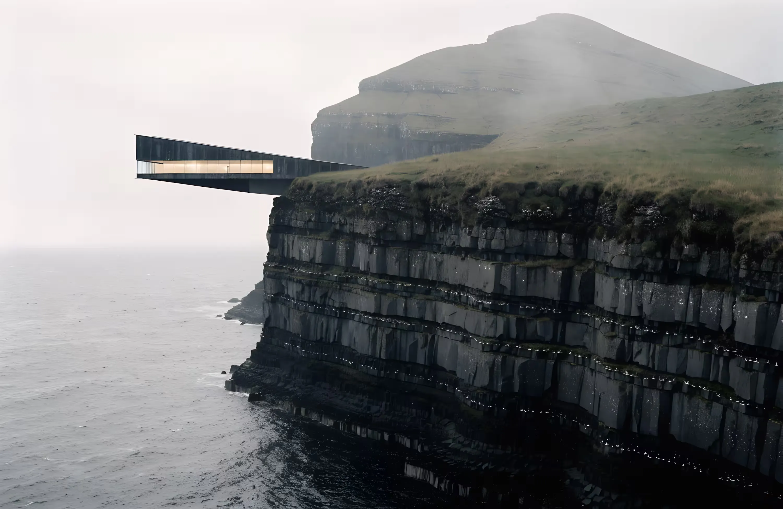
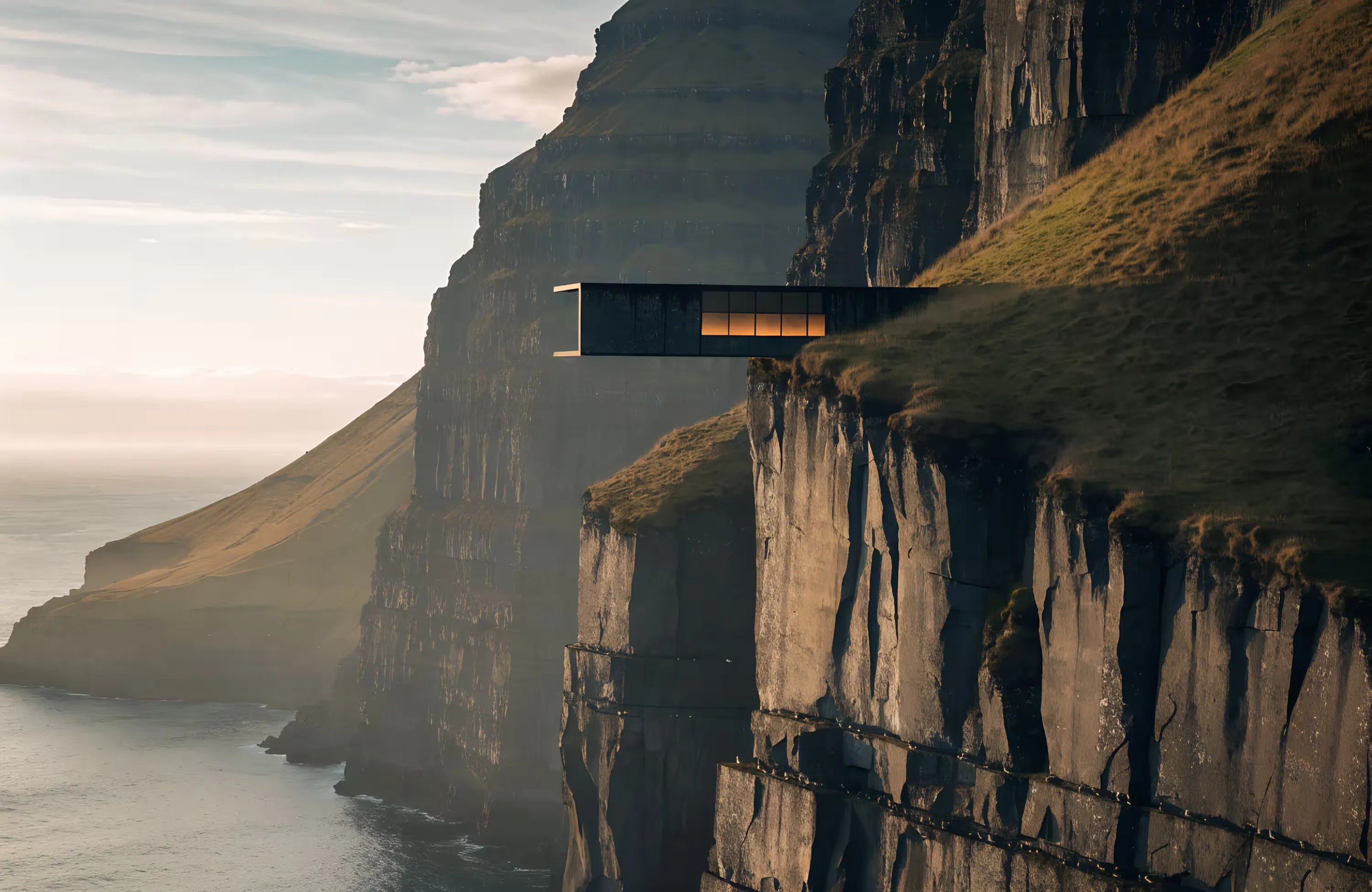
Kalsoy Cliff House62.2931° N 6.7368° W · +212 mseed 1542041351
Kalsoy Cliff House62.2931° N 6.7368° W · +212 mseed 1542041351
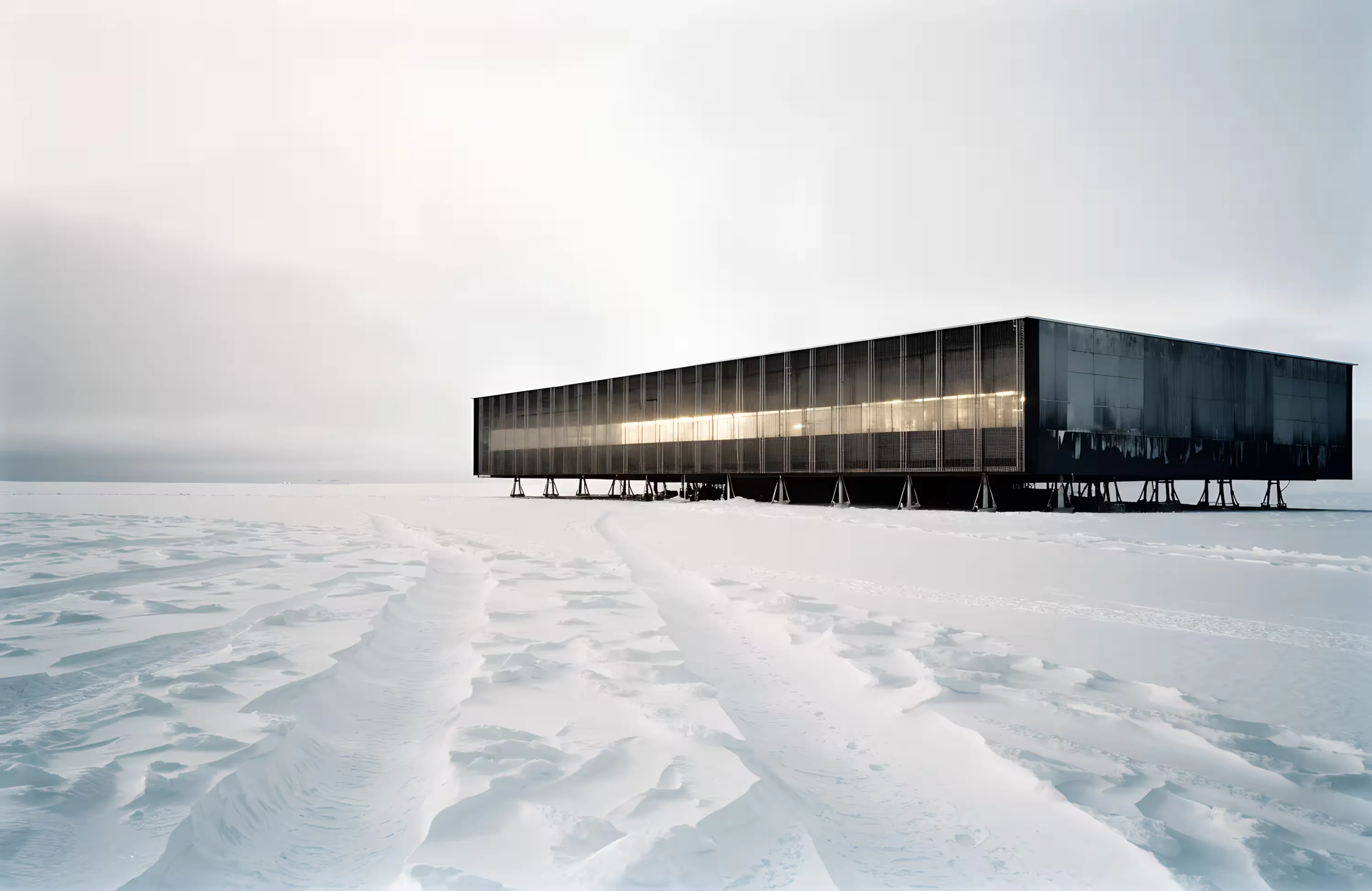
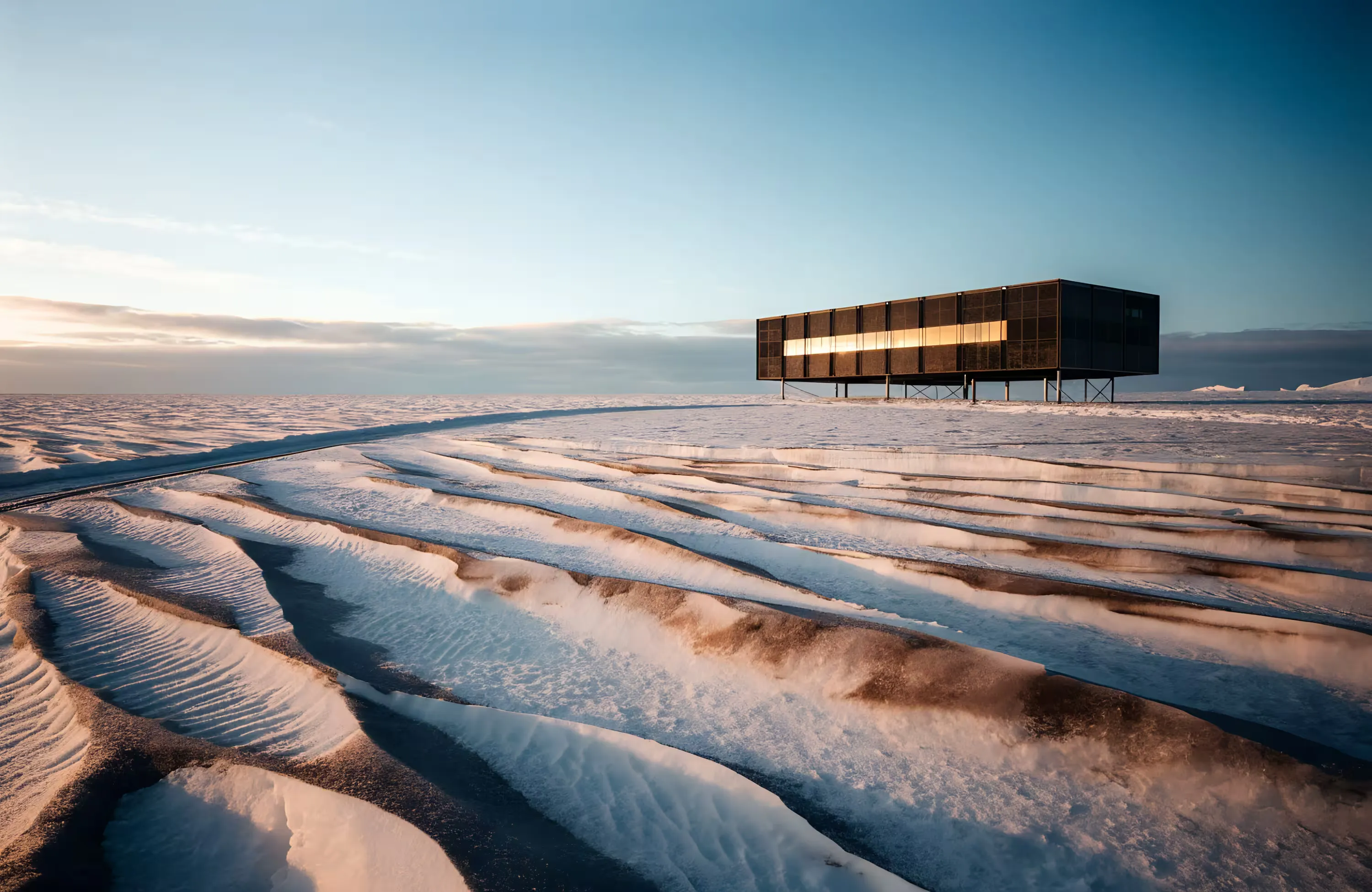
Halvorsen Station75.5811° S 26.2167° W · +31 mseed 582578538
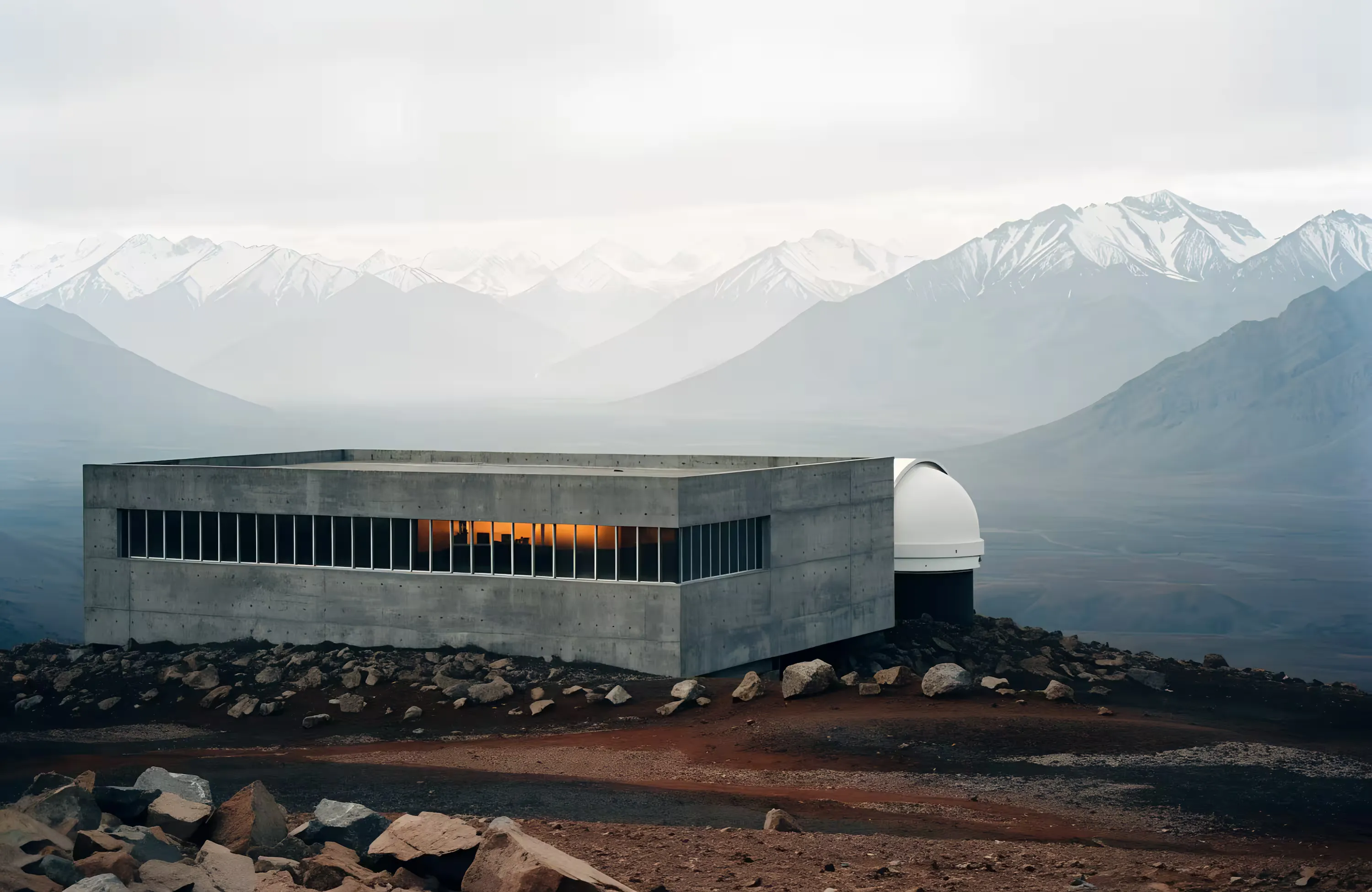
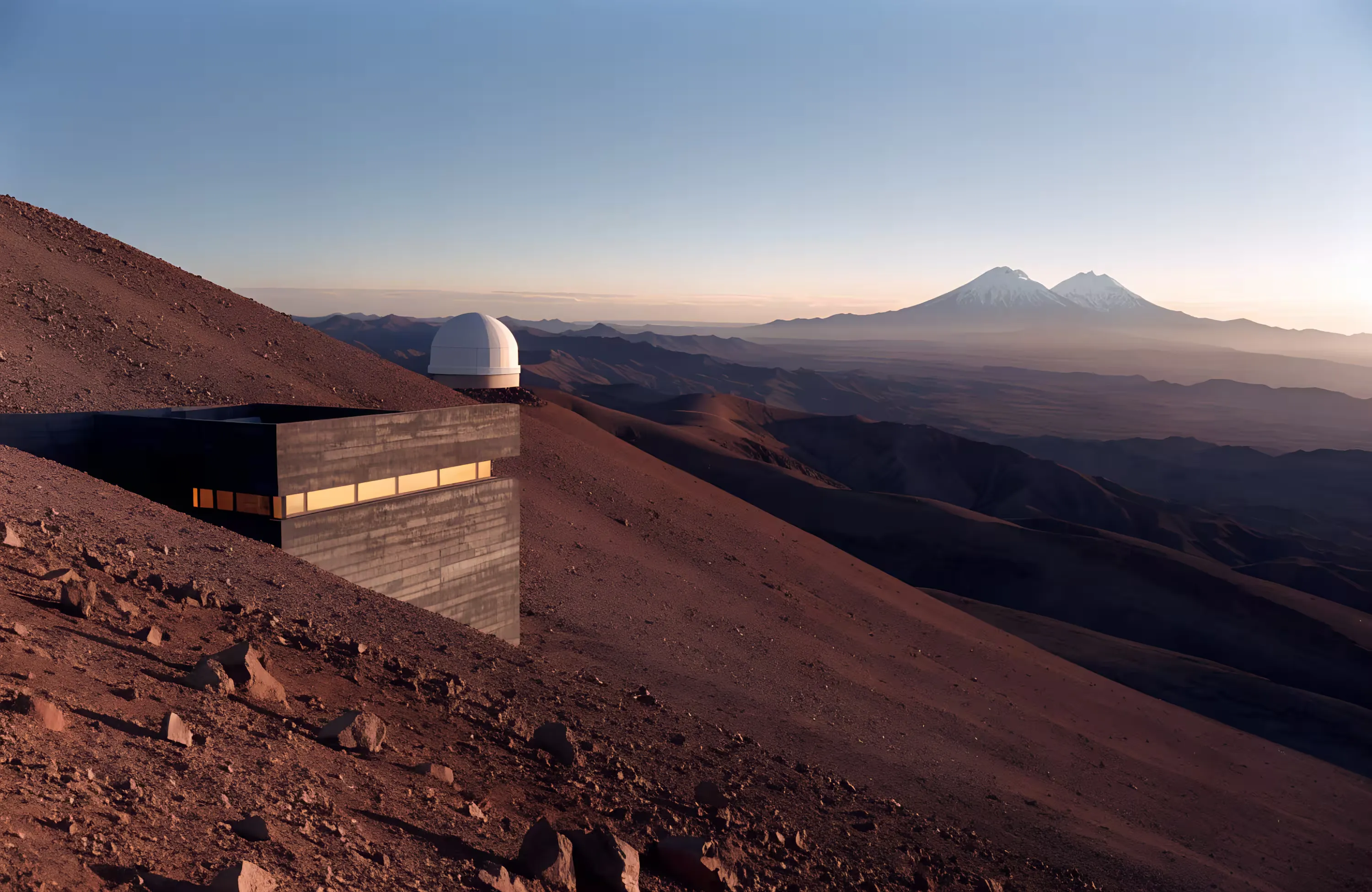
Llano Observatory23.0229° S 67.7553° W · +5,060 mseed 2512851334
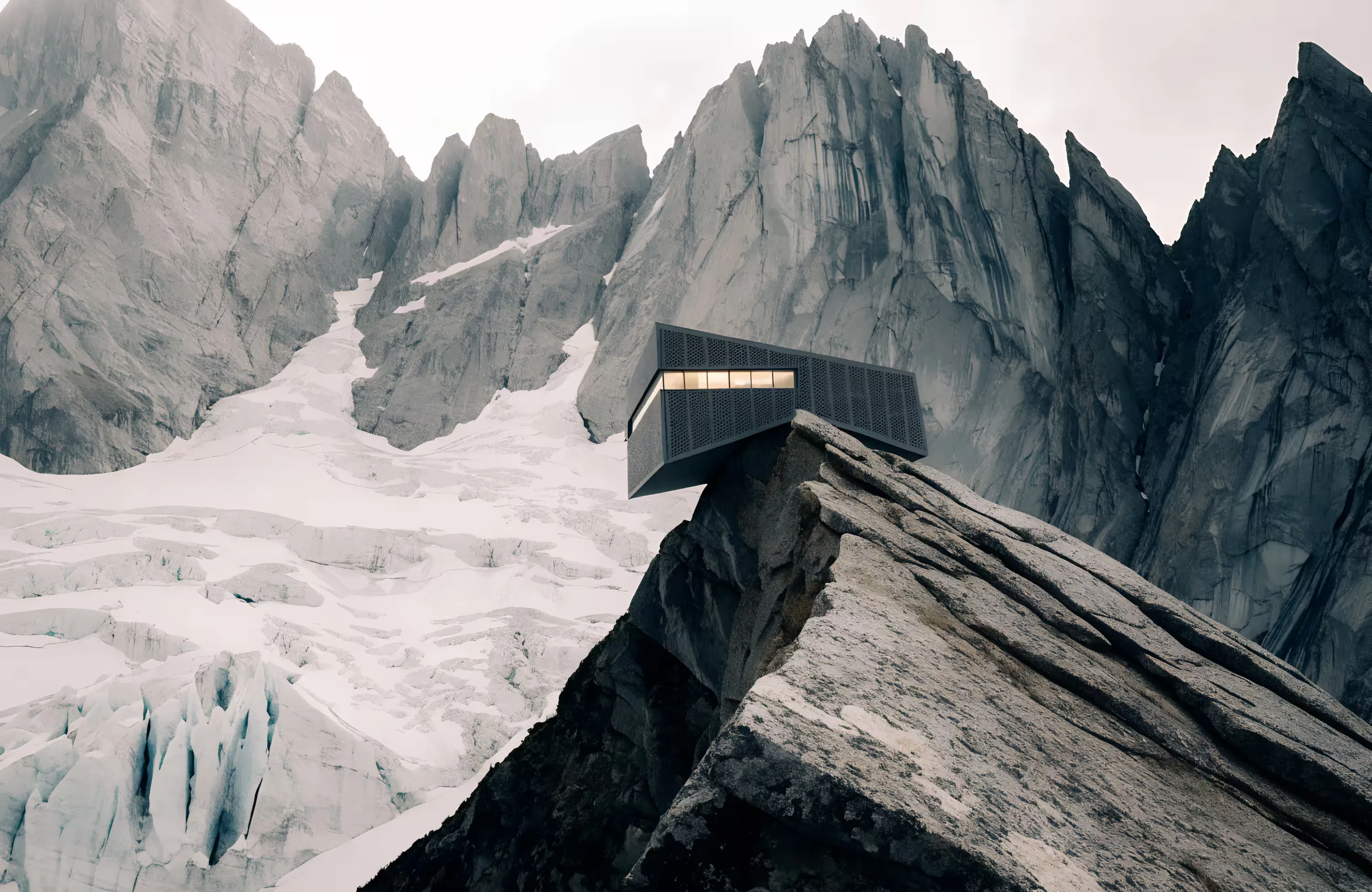
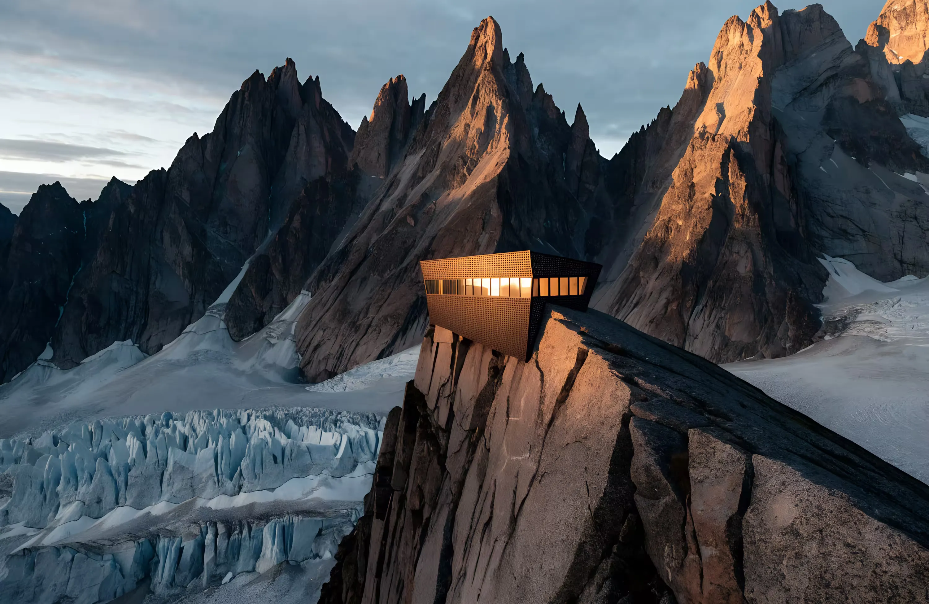
Refuge Arête45.8326° N 6.8652° E · +3,835 mseed 1165476482
Every building begins with its ground.
We build where building should be impossible: sea cliffs, ice shelves, high deserts and knife-edge ridges. In surveying, the datum is the reference every height is measured from. Each of our projects starts there, with a survey of the ground it will stand on, and everything that follows is measured from it.
- 01 Survey
Read the ground
Months on site before a line is drawn.
- 02 Section
Cut through it
The building is designed in section first.
- 03 Skin
Grow the screen
Each facade is patterned by its own terrain.
- 04 Settle
Touch lightly
Everything can leave the way it arrived.
Latest from the sites.
- Refuge ArêtePerforation pattern frozen at 120 cells, tight on the west edge and open on the lee.
- Llano ObservatoryBronze screen panels delivered, 150 cells in 6 crates. Hanging starts when the wind drops below 8 m/s.
- Refuge ArêtePlanning consent granted for the 20-bed scheme. Lift window pencilled for late August 2027.
Seven people, two rooms.
Datum works from Tórshavn and Santiago, 12,045 km apart, and takes on one ground at a time. The people who survey a site are the ones who see it handed over.